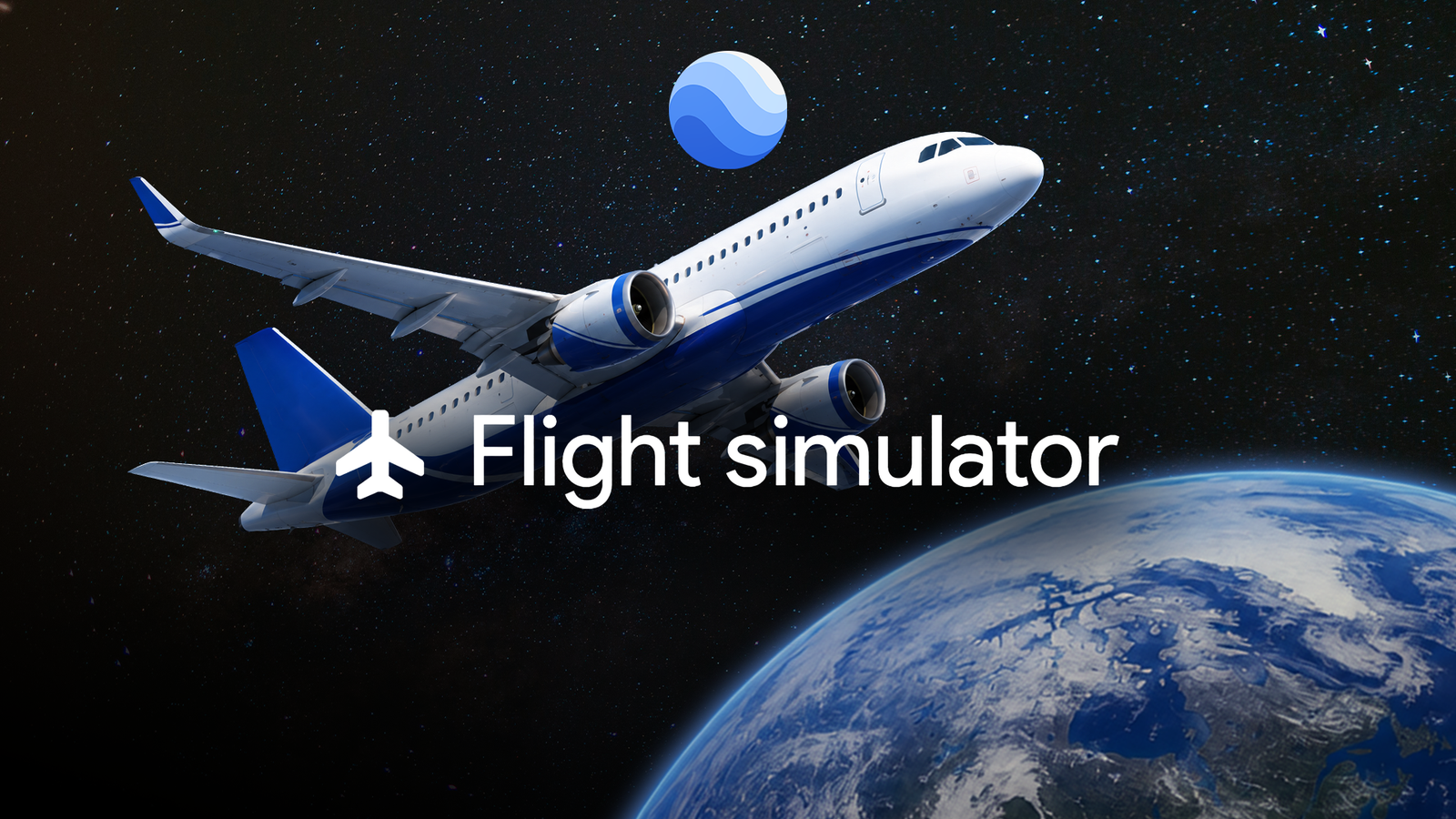
I've always opened Google Earth to explore somewhere virtually, but I never expected to fly through it. That's exactly what happened when I tried its flight simulator. It lets you take control of a virtual plane and fly over the same 3D landscapes and satellite imagery you usually browse from above.
I wasn't expecting a serious flight-simulation experience, but there's something surprisingly entertaining about taking off, figuring out the controls, and trying to stay airborne while over familiar places.
A few crashes later, I realized I was having much more fun with Google Earth than I expected.
Google Earth has a flight simulator hiding in plain sight
I found one of its coolest features
I had no idea Google Earth had a flight simulator until recently. Google launched the new web version in June 2026, bringing the feature to the browser for the first time.
The simulator isn't entirely new, though. Google Earth has had a flight simulator tucked away in its desktop app since 2007, but the new version makes it easier to access from a browser.
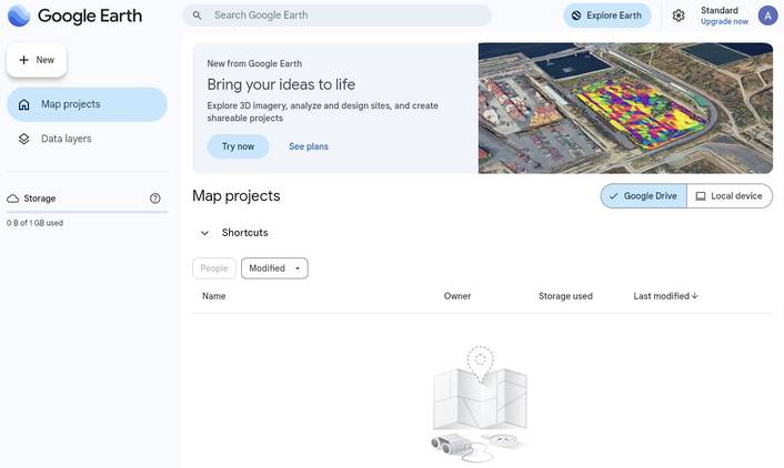
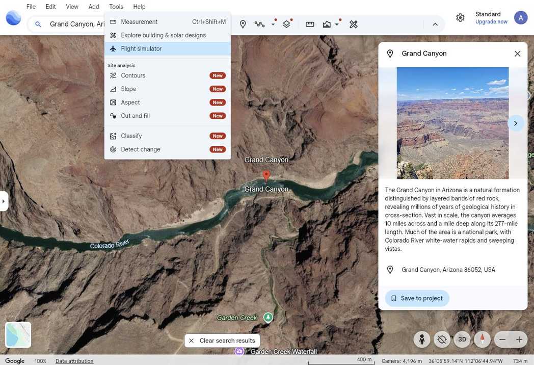
To try it, I opened Google Earth on my computer, clicked , went into , and selected Flight simulator. The web version is experimental and is meant more for casual exploration than serious flight training.
There are some requirements to keep in mind, though. The browser version is meant to run on a computer, and Google Earth relies on modern browsers and 3D graphics capabilities. Google recommends the latest versions of Chrome, Firefox, Safari, or Microsoft Edge, and you must enable hardware acceleration.
My first flight went a little off course
It was not exactly smooth
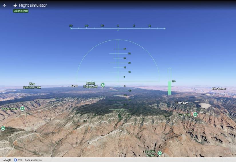
Google Earth flight simulator uses simple keyboard controls. I could increase thrust with and decrease it with .
The arrow keys handled the actual flying: the Down arrow tilted the nose up to climb, the Up arrow pointed it down to descend, while the Left arrow and Right arrow banked the plane in either direction.
Google recommends making small corrections, which I learned is good advice.
My first few attempts were more about figuring out what each control did than admiring the scenery. I would get the plane moving, pull up, and immediately overcorrect.
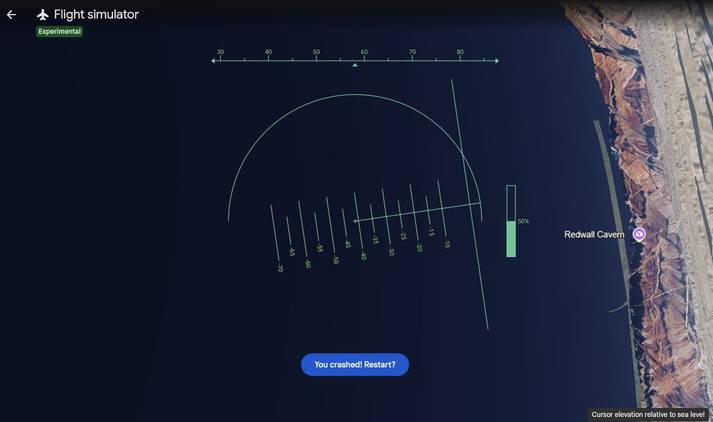
Before long, I was heading toward the ground rather than the horizon. Thankfully, crashing isn't painful here: when the plane hits the terrain, the simulator pauses and lets you restart at a safe altitude.
I had to rethink how I was flying
Figuring out the controls
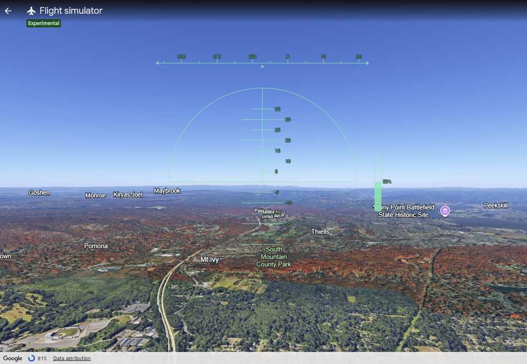
I realized that I was crashing too often, so I asked my husband for some help. He enjoys building and flying FPV (First Person View) drones, so he's more familiar with thinking about movement across the different axes than I am.
One thing he pointed out is that turning an aircraft isn't quite as simple as pressing left or right.
In a typical aircraft or flight simulator, you're dealing with three axes of movement: roll, pitch, and yaw. Roll banks the aircraft from side to side, pitch moves the nose up or down, and yaw changes the aircraft's heading without banking.
Google Earth's web simulator, however, offers only roll and pitch through the arrow keys. It has no separate yaw control.
That explains why I was struggling to make the plane go where I wanted. If I pressed the left arrow, the plane rolled left, but that alone didn't give me the kind of turn I expected.
To move left, I had to combine the roll with a pitch adjustment. I'd press the left arrow to roll left, then use the up arrow to pitch the nose down. Getting the timing of those inputs can be tricky.
The best part is deciding where to fly
I could fly almost anywhere I wanted
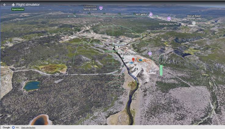
After I got the hang of keeping the plane in the air, I started experimenting with different places to see which ones were fun viewing from the cockpit.
The Grand Canyon was my first choice. Flying along the canyon and watching the terrain change gives you something to follow, rather than just flying over a flat stretch of land.
Mount Everest was another fun one, although the rapidly rising terrain makes it considerably less forgiving.
You can try cities too. A flight over New York City offers a stunning view of the Manhattan skyline, bridges, and Central Park.
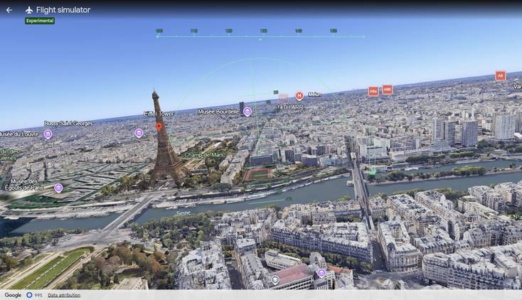
Paris is fun for a completely different reason; you can aim for the Eiffel Tower and use the Seine to get your bearings. London works similarly with the Thames running through the city.
Google Earth's flight simulator is worth a spin
Google Earth's flight simulator is an experimental feature meant for casual exploration, with simplified flight physics rather than high-fidelity aerodynamics.
After a few slightly chaotic takeoffs and landings, I got the hang of it, and I found myself wanting to try another .
If you're looking for a serious flight simulator, this probably isn't it. But if you want a fun way to explore Earth from the air, it's definitely worth a try.